I am working on building and optimizing GIS infrastructures, applying my expertise in geoinformatics, cartographic visualisations, Python, ArcGIS, QGIS, and system administration to support efficient workflows and reliable, data-driven decision-making.
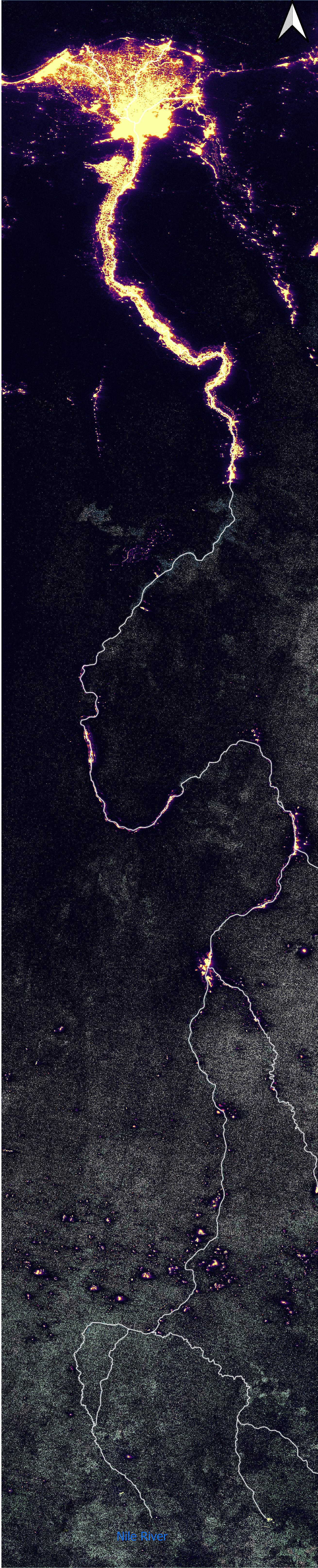
Drag to rotate · Scroll to zoom · Rivers carved in geometry
30m SRTM DEM | hydrosheds.org | QGIS